|
Hermes@Neo4j
|
|
Hermes@Neo4j
|
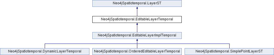
Instances of Layer provide the ability for developers to add/remove and edit geometries associated with a single dataset (or layer). This includes support for several storage mechanisms, like in-node (geometries in properties) and sub-graph (geometries describe by the graph). A Layer can be associated with a dataset. In cases where the dataset contains only one layer, the layer itself is the dataset. See the class DefaultLayer for the standard implementation of that pattern.
| SpatialTemporalDatabaseRecord Neo4jSpatiotemporal.EditableLayerTemporal.add | ( | Geometry | geometry | ) |
Add a new geometry to the layer. This will add the geometry to the index.
| geometry |
Implemented in Neo4jSpatiotemporal.EditableLayerImplTemporal.
| SpatialTemporalDatabaseRecord Neo4jSpatiotemporal.EditableLayerTemporal.add | ( | Geometry | geometry, |
| String[] | fieldsName, | ||
| Object[] | fields | ||
| ) |
Add a new geometry to the layer. This will add the geometry to the index. : Rather use a HashMap of properties
| geometry |
Implemented in Neo4jSpatiotemporal.EditableLayerImplTemporal.
| void Neo4jSpatiotemporal.EditableLayerTemporal.delete | ( | long | geometryNodeId | ) |
Delete the geometry identified by the passed node id. This might be as simple as deleting the geometry node, or it might require extracting and deleting an entire sub-graph.
| geoemtryNodeId |
Implemented in Neo4jSpatiotemporal.EditableLayerImplTemporal.
| void Neo4jSpatiotemporal.EditableLayerTemporal.removeFromIndex | ( | long | geomNodeId | ) |
Implemented in Neo4jSpatiotemporal.EditableLayerImplTemporal.
| void Neo4jSpatiotemporal.EditableLayerTemporal.setCoordinateReferenceSystem | ( | CoordinateReferenceSystem | coordinateReferenceSystem | ) |
| void Neo4jSpatiotemporal.EditableLayerTemporal.update | ( | long | geometryNodeId, |
| Geometry | geometry | ||
| ) |
Update the geometry identified by the passed node id. This might be as simple as changing node properties or it might require editing an entire sub-graph.
| geoemtryNodeId |
Implemented in Neo4jSpatiotemporal.EditableLayerImplTemporal.
 1.8.10

 Public Member Functions inherited from